

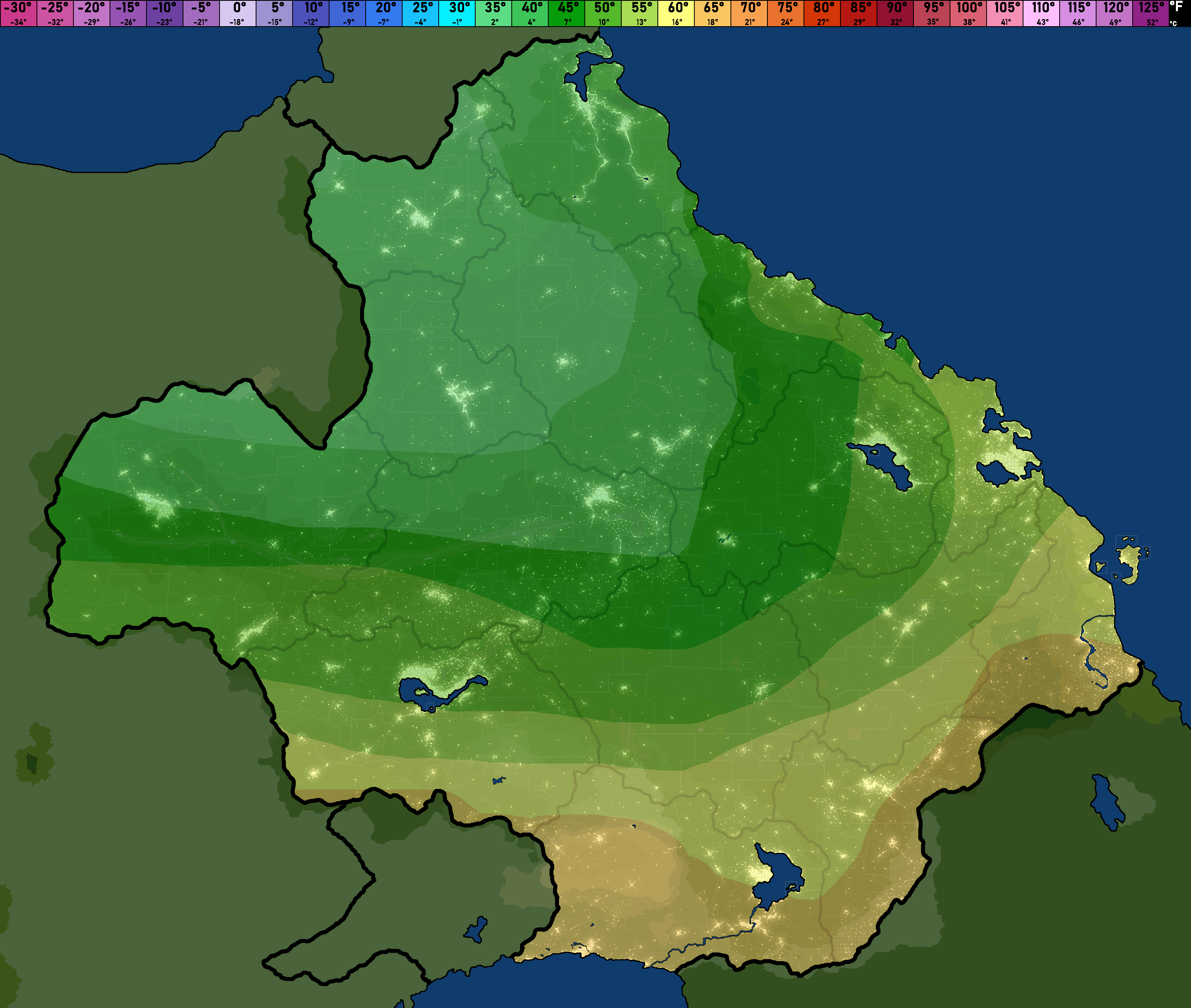
*Note this map does not include mountain temperatures. Expect temperatures near mountains to be much lower than shown on this map.*
We're getting some clear and calm weather before a cold front will hit us late at night tomorrow night. This cold front will bring some more snow up north above the snow line, where we may see snowfall around 15mm in total in some more susceptible areas, though it most likely will be lower in more populated regions. No clouds are expected anywhere today except maybe a few up north associated with the cold front they will see impact the region tomorrow. Winds are completely calm everywhere right now, but we will most likely see them speed right back up again to winds of ~20 knots in high elevation locations. This may result in minor winter weather conditions, though we cannot know for sure at the moment.
Looking for the daily SPC outlooks and model runs instead? Click here!